|
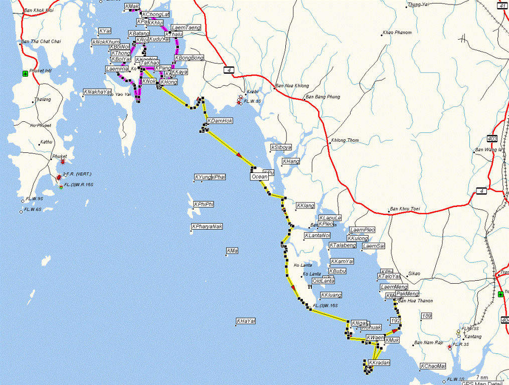
thailand
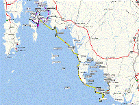
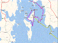
Route of kayak trip. Purple line is double trip with Roy
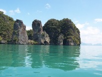
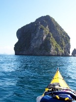
in Phang Nga Bay
and yellow is the solo folding kayak path south.
|
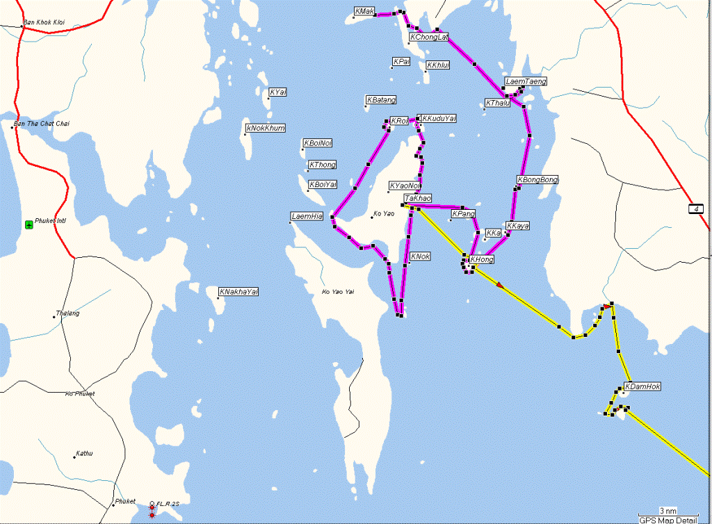
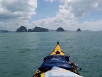
thailand-A
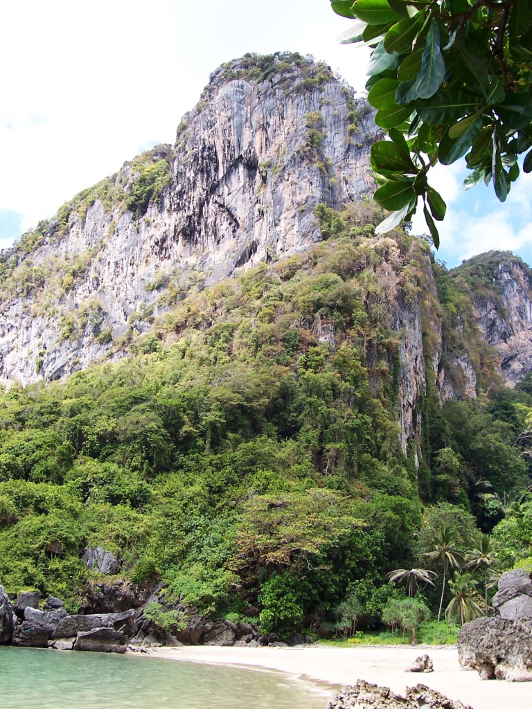
Phang Nga Bay detail.
|
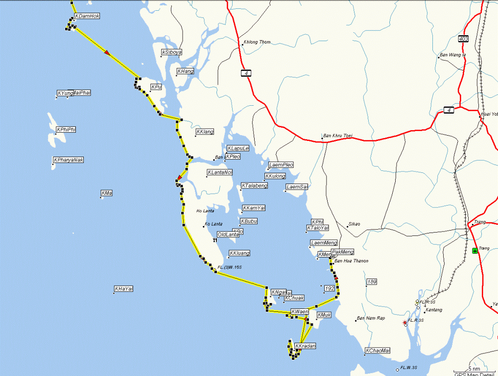
thailand-B
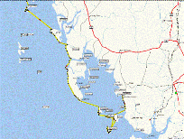
Krabi and Trang provinces – detail.
|
|
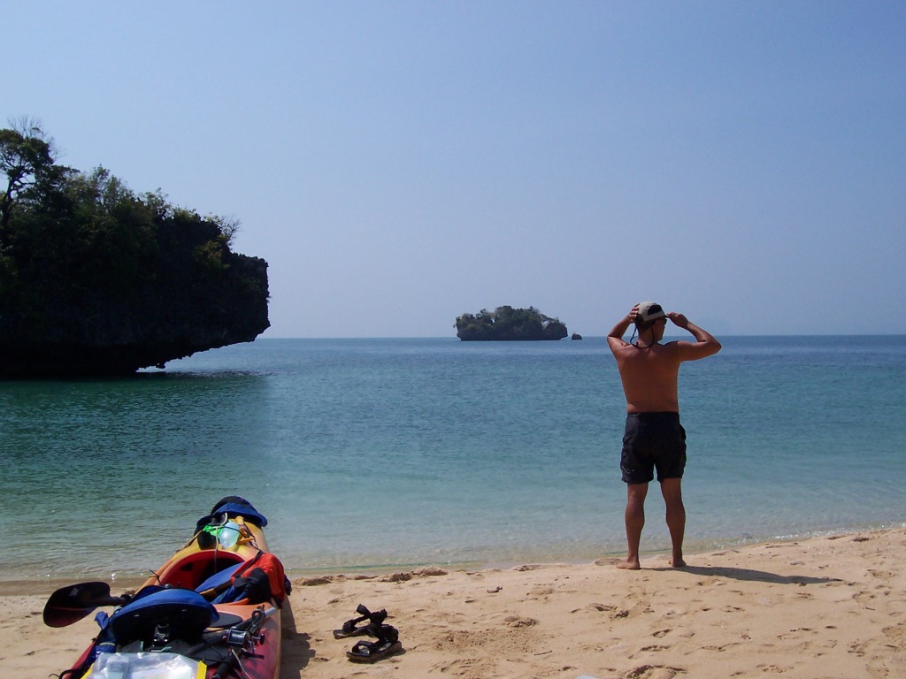
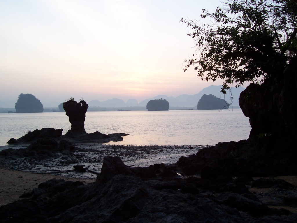
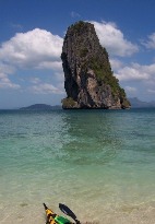
1901
Snorkel stop on Ko Phak Bia
|
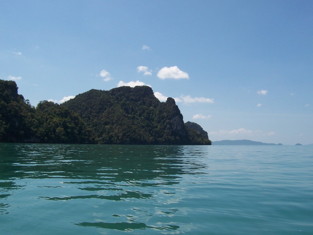
1903

Ko Phak Bia
|
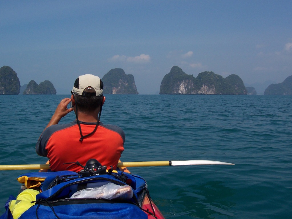
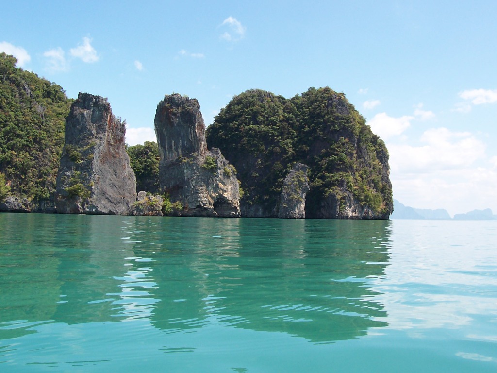
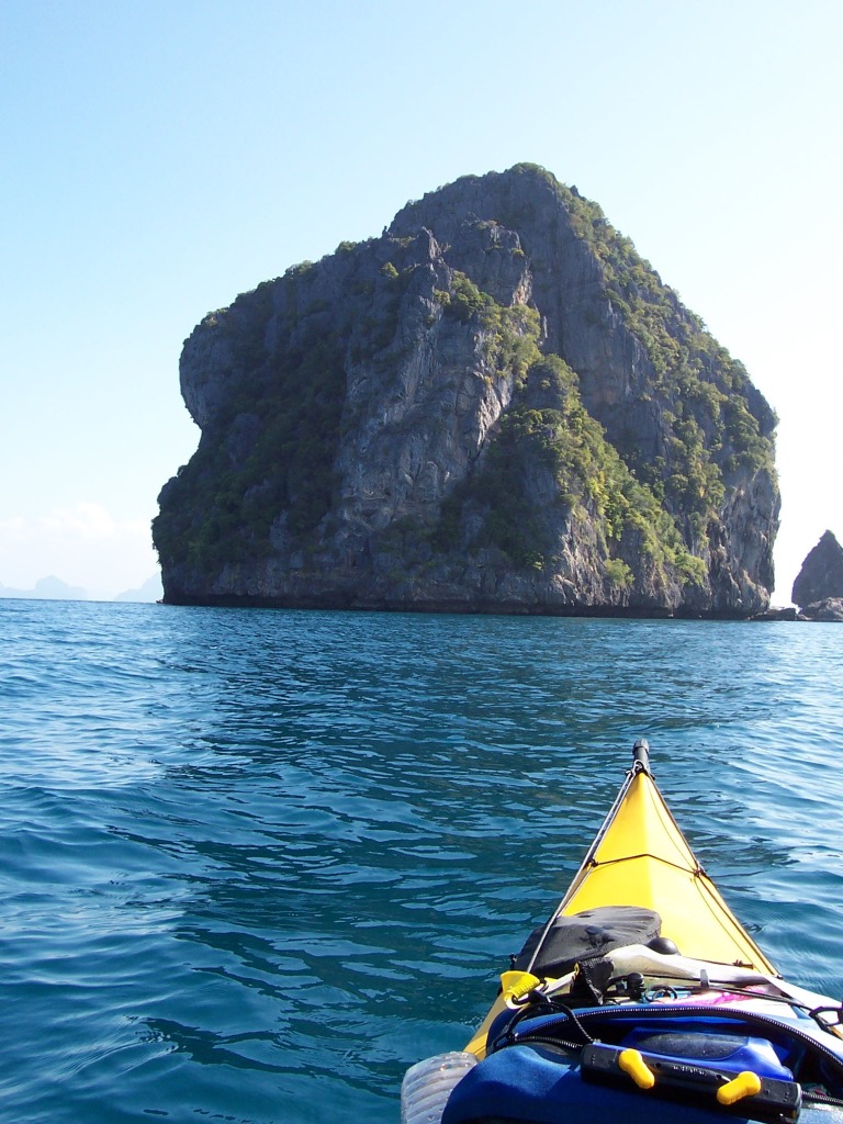
1904
Island group around Ko Ka
|
|
1906
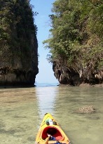
Inside the enclosed lagoon on the south of Ko Hong
|
1911
Ko Hong
|
1914

|
|
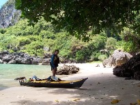
1915
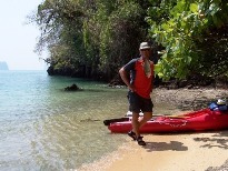
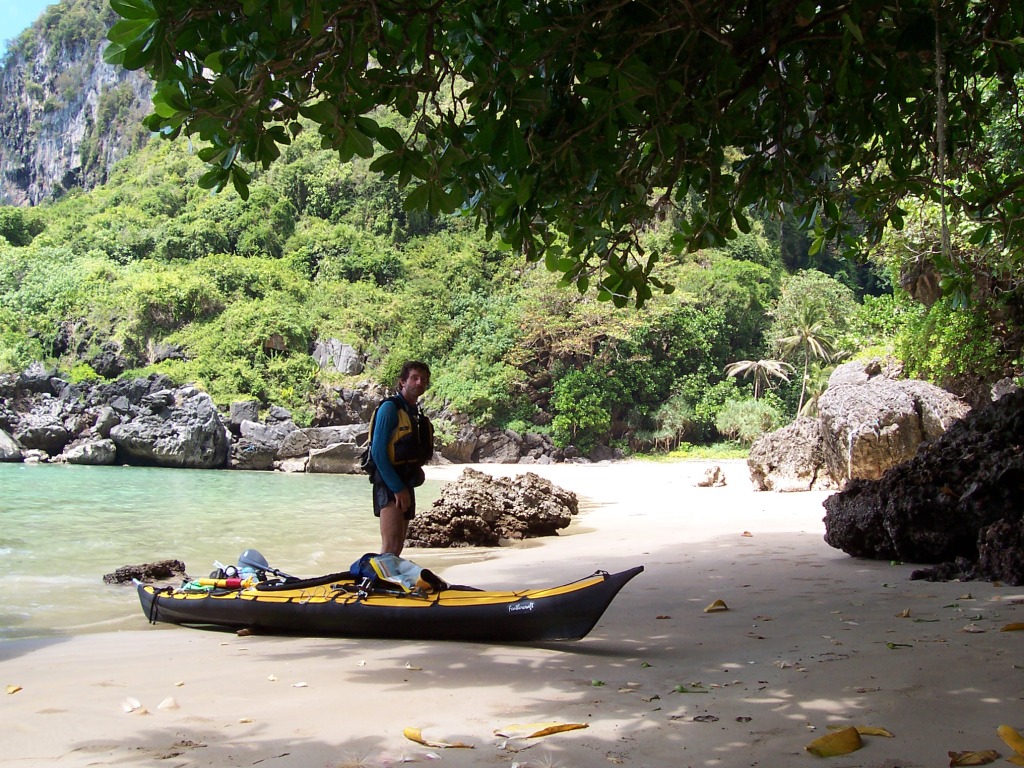
Roy
getting ready for lunch on Ko Bong Bong
|
1916
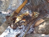
Lunch getting ready for Roy.
|
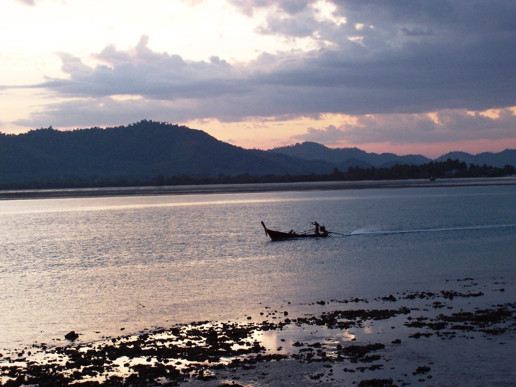
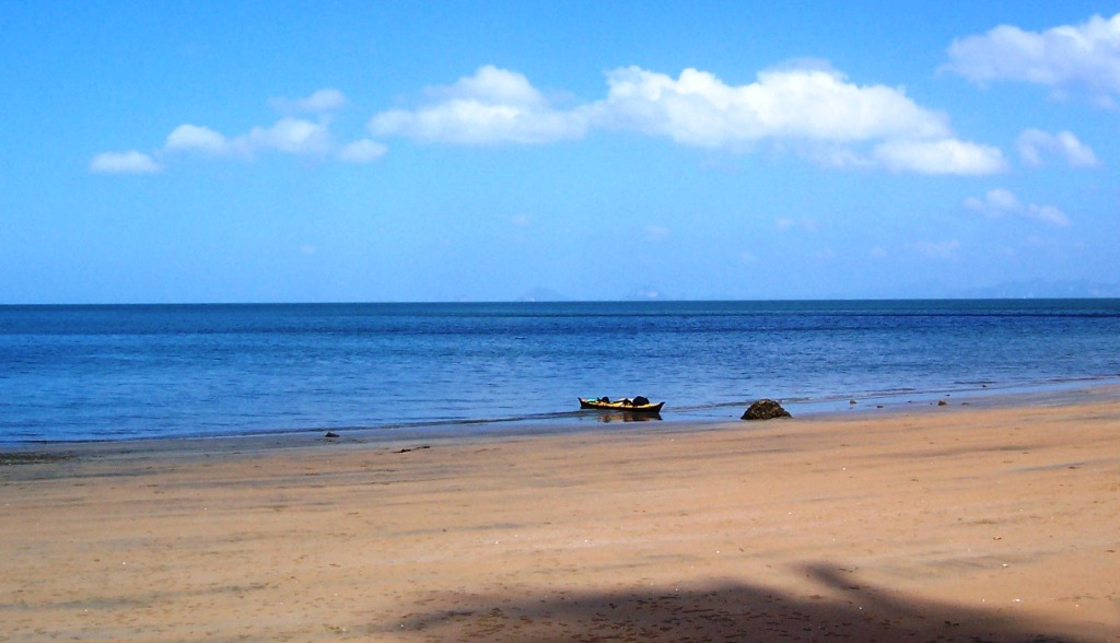
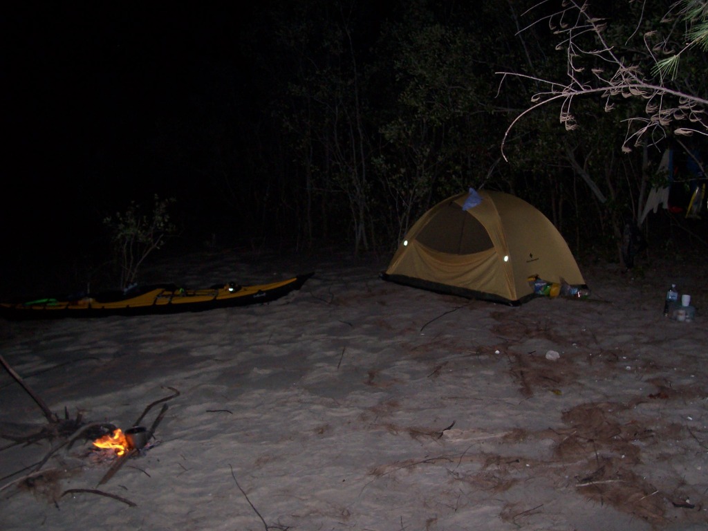
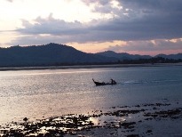
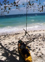
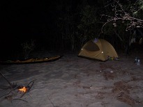
1920
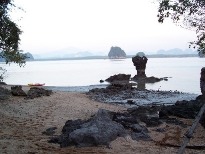
Low spring tide near Laem Taeng. Here we camped. A few hours later the tide
brought the kayak(tethered) up to
where I’m standing.
|
|
1923
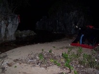
Roy sleeping. I’m waiting for the tide to start receding before going to bed.
|
1924
Morning at Laem Taeng.
|
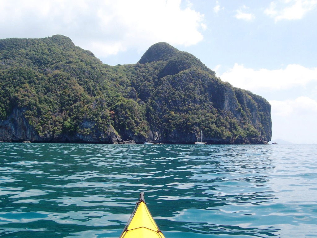
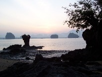
1929

Ko Chong Lat
|
|
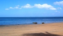
1932
On Ko Yao Noi looking east.
|
1933

North east Ko Yao Noi
|
1935
Ko Kudu Yai
|
|
1937

Ko Roi
|
1941
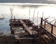
Local sea food restaurant on south east Ko Yao Noi – floating pens to hold
the fish and other edibles.
|
1942
Fishing boats on the straight between Ko Yao Noi and Ko Yao Yai.
|
|
1943
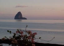
Ko Rang Nok – we went there the next day. The Island
is heavily guarded because it is a reserve for the birds whose nests are used
for birds-nest soup. Guards would only
let us land briefly. They gave us some fruit and then we had to leave.
|
1947
Ko Yao Noi
|
1951
Last day with Roy.
|
|
|
|
|
|
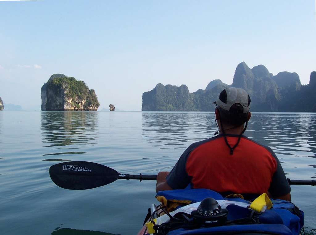
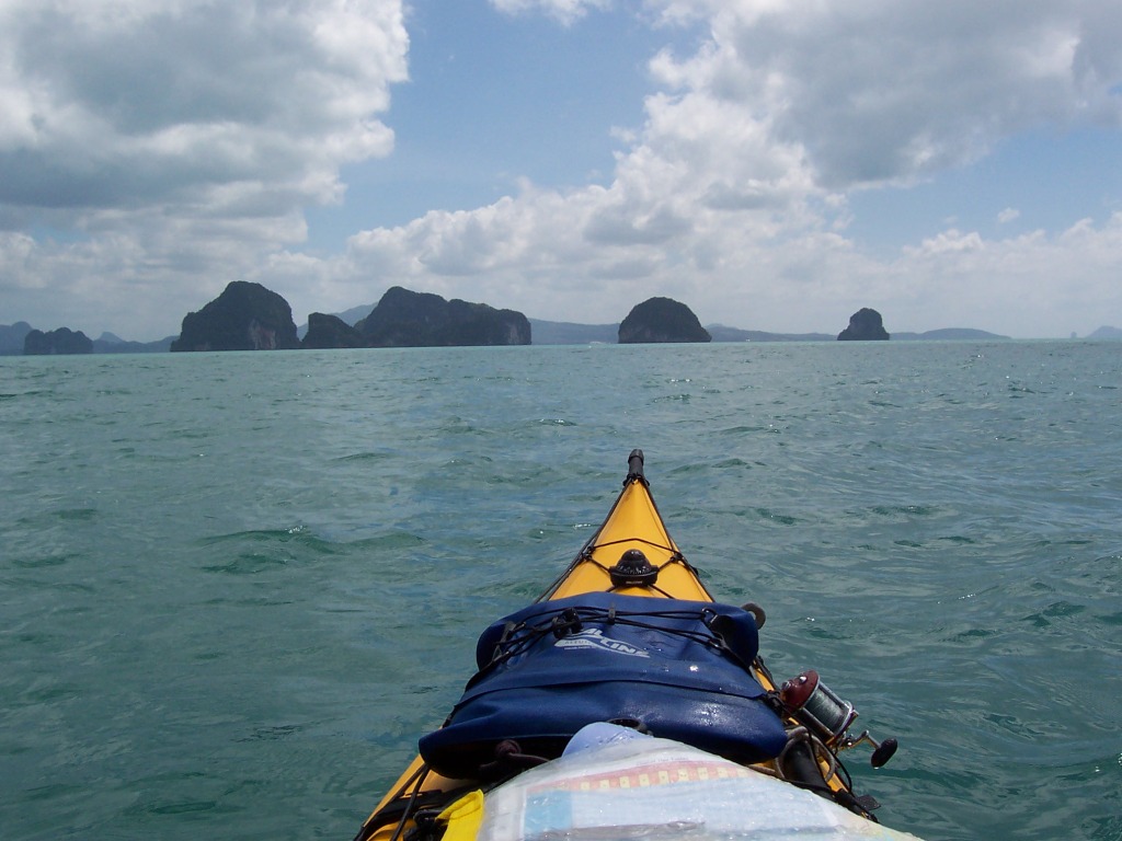
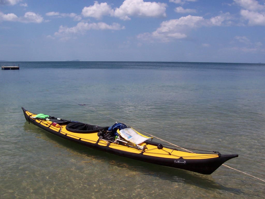
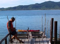
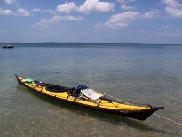
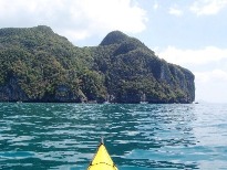
1955
Starting out from Ko Yao Noi alone. My first trip with the my new
Feathercraft Wisper folding kayak. Approaching the islands in the Ko Hong area.
|
1956
Ko Hong
|
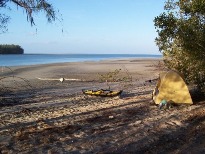
1959
On Ko Dam Hok looking north towards Ao Nang.
|
|
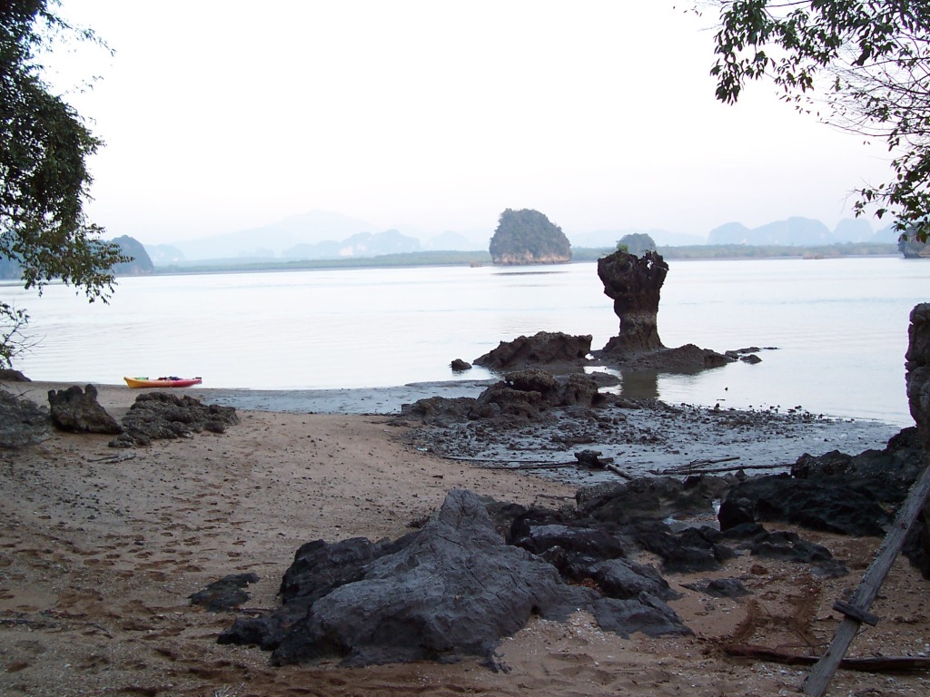
1960
Ko Dam Khwan – strong east wind coming up with a nasty forecast for the following days. Here I
decided to abandon my original exposed route going south to Ko Mai Phai and
then Ko Phi Phi. I spent a restless
night listening to the wind. At 4AM the wind was significantly weaker so I
packed and left in the dark eastwards towards the protected west coast of Ko
Pu. In the event of the wind increasing my contingency plan was to let it
blow me back to Ko Dam Khwan and then wait for calm.
|
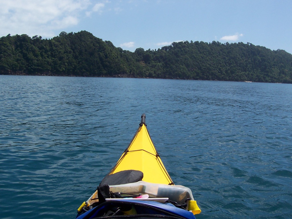
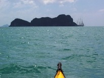
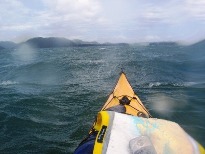
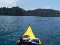
1964
After an hour an a half paddling, the dawn was accompanied with an increased
head wind but nothing unmanageable. Two hours later I arrived at Ko Pu. Here
I found a calm bay for breakfast after the 10nm crossing. The twin Islands can be seen on the horizon just above the kayak
- Ko Dam Hok slightly to the right and
Ko Dam Khwan to the left.
|
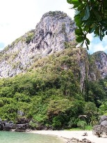
1967
Lunch stop on the South west of Ko Pu with Ko Mai Phai on the horizon. The Ko
Pu mountains provided almost complete calm for a few hundred yards from the
beach. The conditions here contrasted sharply with those ½ a mile further on
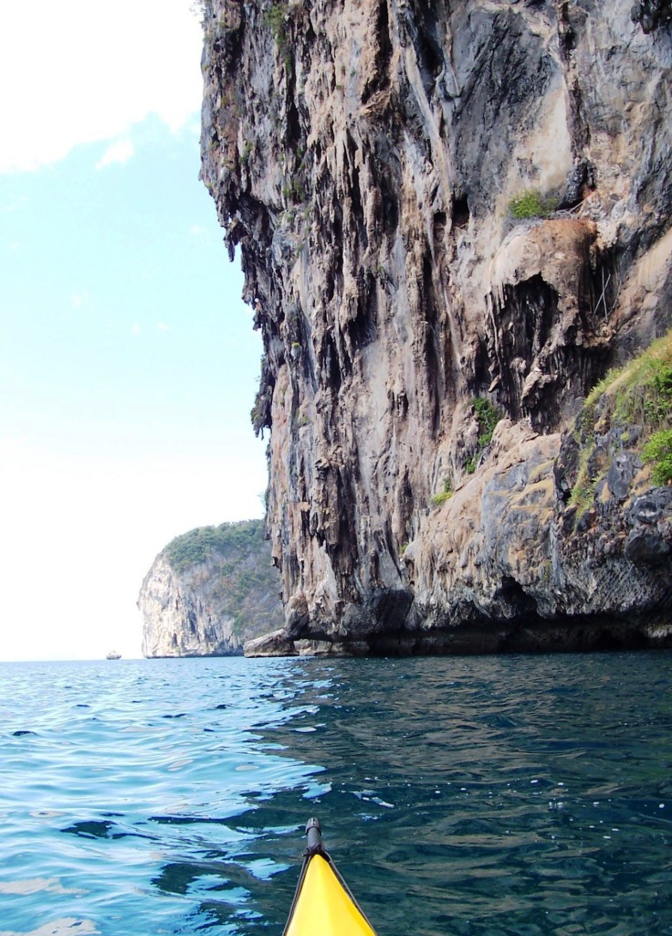
when I rounded the southern tip of the Island
for a two mile crossing eastward to Ko Klang … next two photographs.
|
|
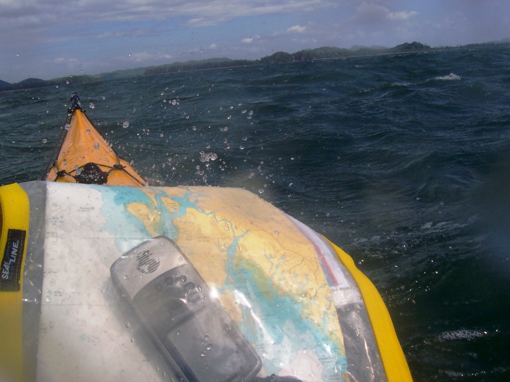
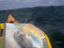
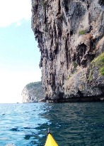
1968
Digesting my lunch crossing to Ko Klang. Every two minutes or so a gust would
come along and for about 15 seconds I felt that I was paddling in mud i.e.
exerting all my strength and not moving. This photograph was taken the
relative “calm” between the these squalls. With a fetch of only two miles I
was wondering how things were looking on my original route with a fetch of
more than 10 miles and thankful that I had changed the route.
|
1970
Half way to Ko Klang – checking the GPS occasionally to verify that I was
actually going forward.
|
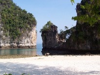
1971
South Ko Klang. Later I crossed to the little island in the picture where I
camped.
|
|
1973
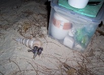
Hermit crab visiting my kitchen
box.
|
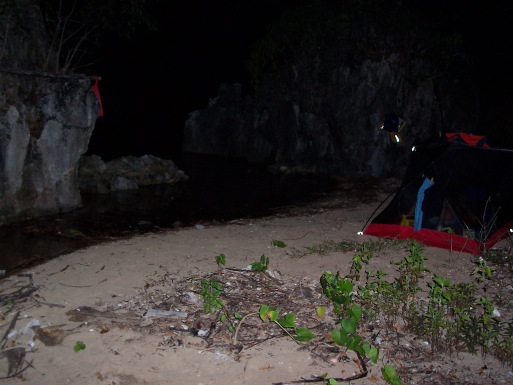
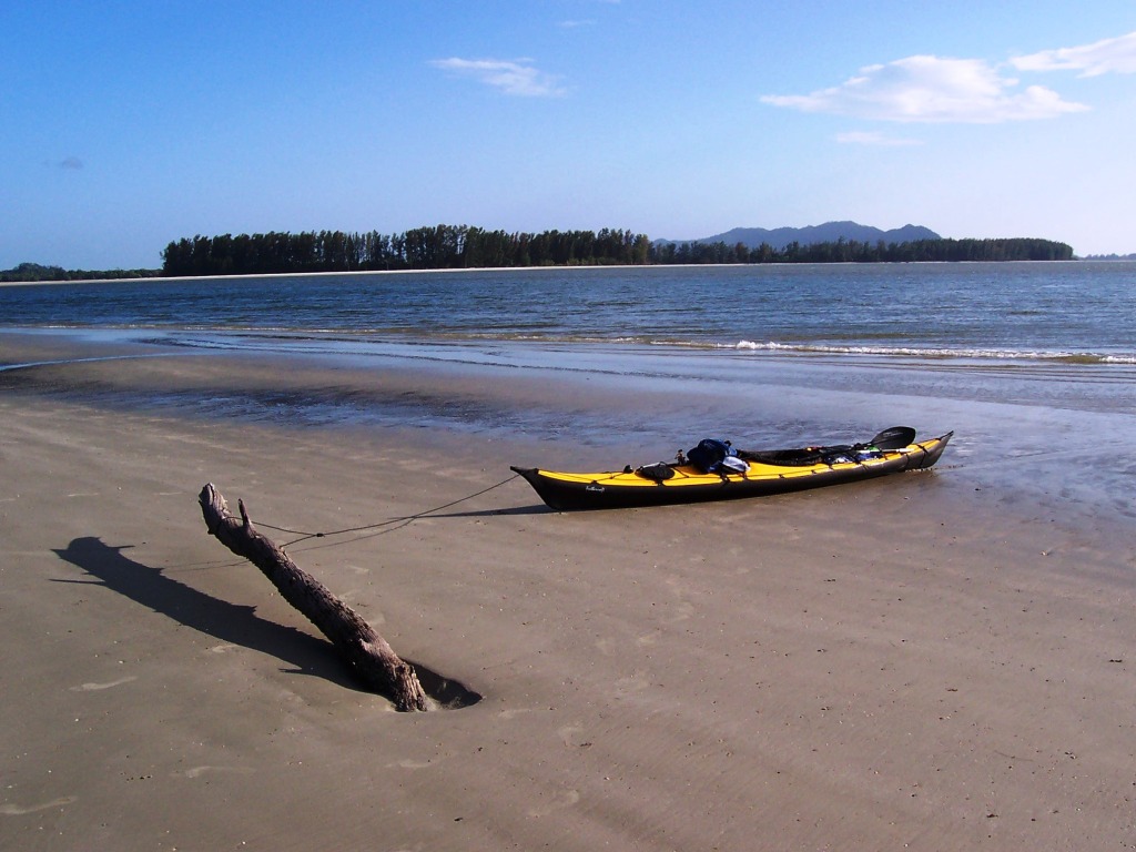
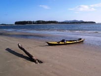
1976
Camping on a small island at the mouth of the channel between Ko Klang and Ko
lanta Noi.
|
1977
Morning and low tide – getting ready for rolling the kayak to the water using
the two pieces of bamboo which I carried on my back deck for this purpose.
|
|
1980
Ko Ngai - looking for a camping place. Looks like a little beach to right.
|
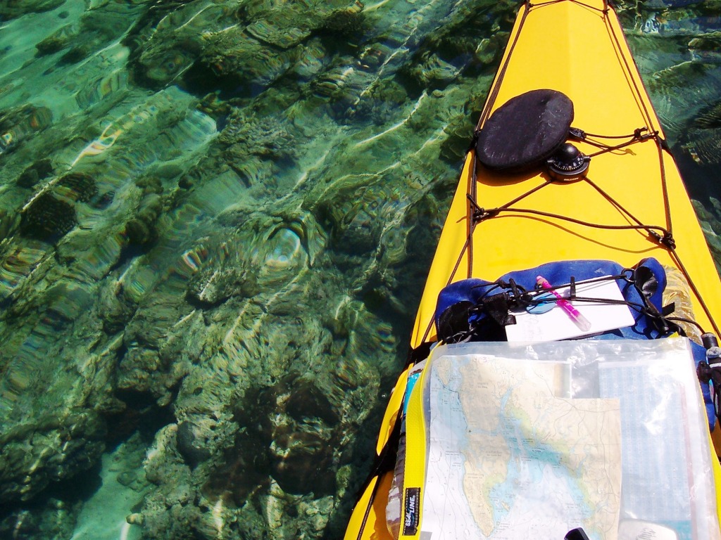
1984
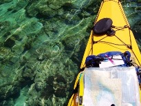
Coral around Ko Ngai – the water
here is a few meters deep.
|
1992
Breakfast on Ko Ngai - well almost –
this one a was a bit small so we parted with a promise to meet in a year from
now.
|
|
1999
Ko Chuak
|
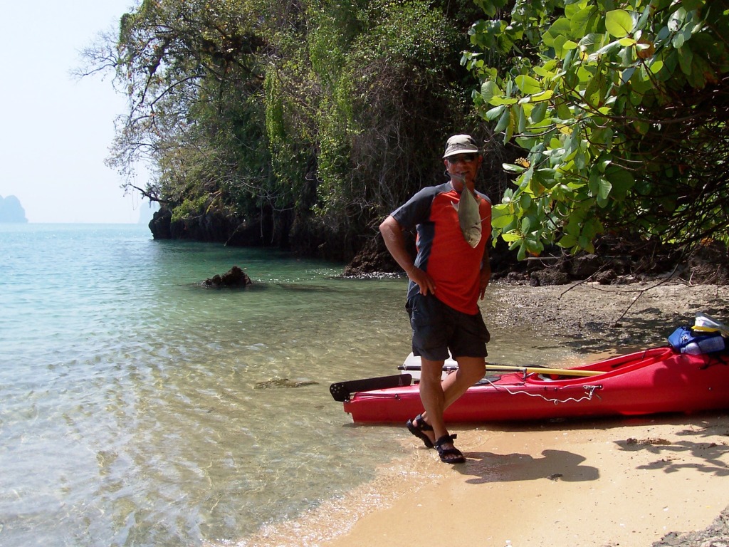
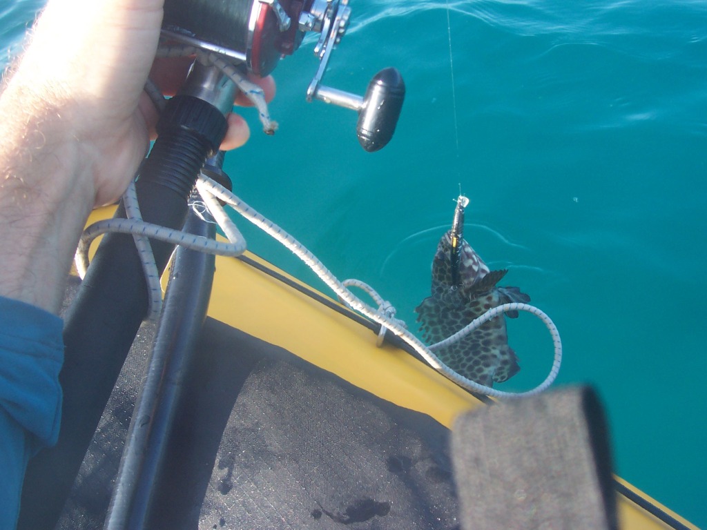
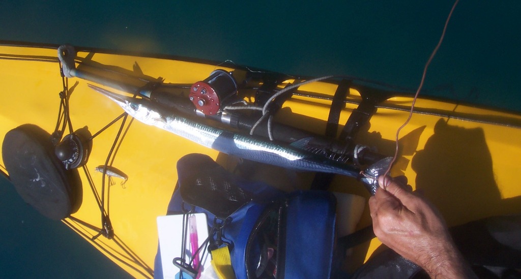
2003
Are you big enough for dinner ? …10 minutes later his big brother came along
– about 3 times his length (next photo) ..
(If you can identify this fish
please mail me)
|
2005
Big brother complete with remora – too big this time – used my pliers to set
myself free.
|
|
2008
Approaching the Emerald cave on Ko Muk. The approx. 80 meter cave leads into
a hidden beach surrounded by high cliffs. Two yachts there before me. The
skipper on one turned our to be a folding kayak enthusiast – result: a cold
coke and a life history in an hour.
Conversations between two people who have been alone for a few days
are always the sweetest of all.
|
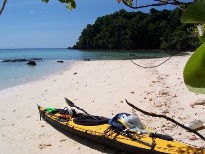
2009
Camping beach on Ko Kradan.
|
2014
Ko Kradan – snorkeling stop.
|
|
2018
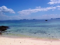
Ko Kradan – looking south.
|
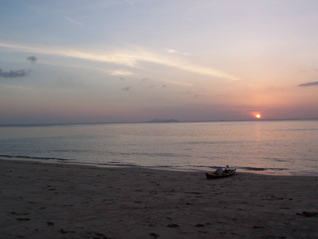
2019
Back On Ko Muk on my way to the mainland. Camera on rock and then run.
|
2021
Ko Muk – sea, beach, forest and cliffs. These pictures are filling my dreams
for weeks after returning.
|
|
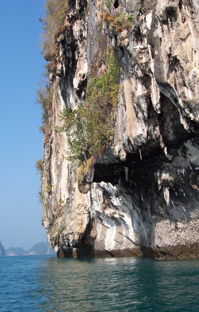
2023
Northern Ko Muk – high tide undercut.
|
|
|