Ionian Islands Kayak trip - August 2004
(130nm / 240km)
Click on pictures to enlarge
|
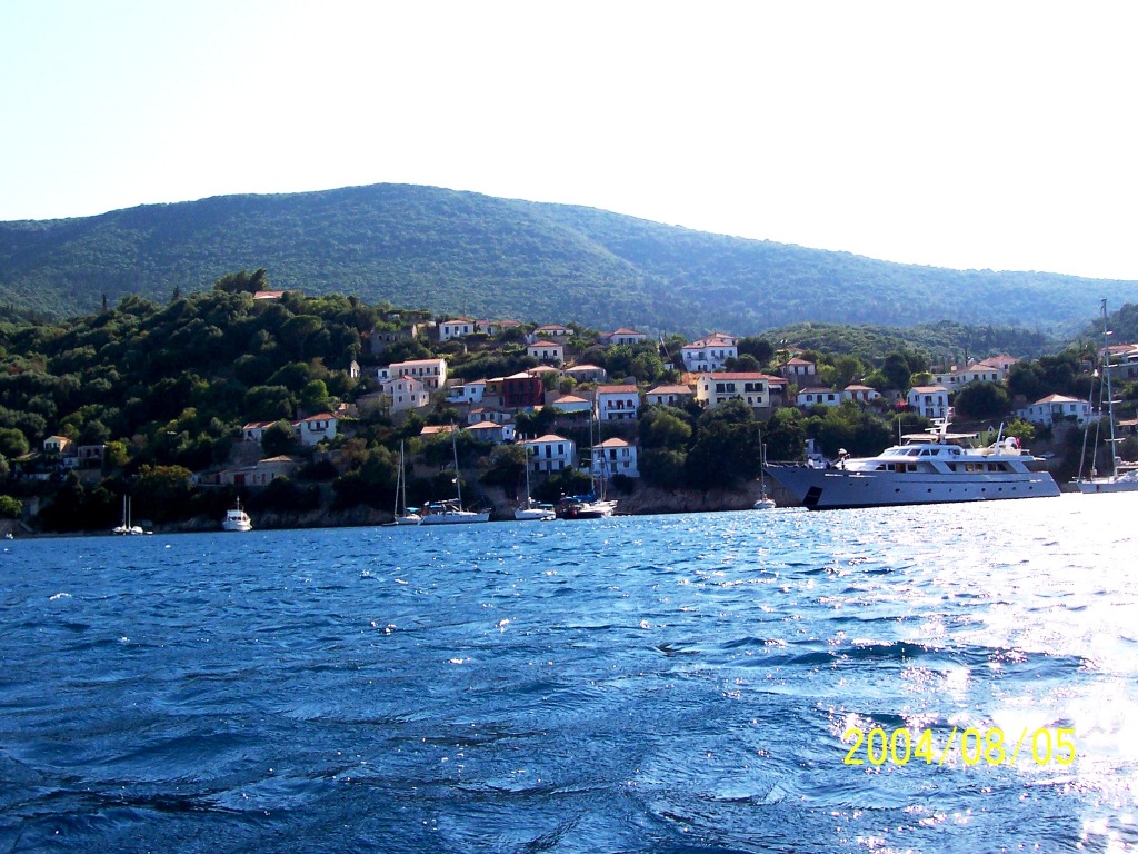
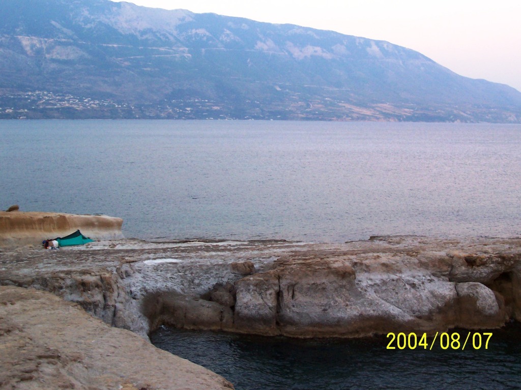
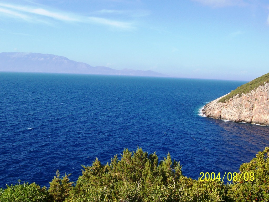
150route I landed in Zante (a.k.a
Zakynthos) and I made my way by ferry + taxi to Sami (Kefallonia). Here I
built the folding kayak and started by crossing to |
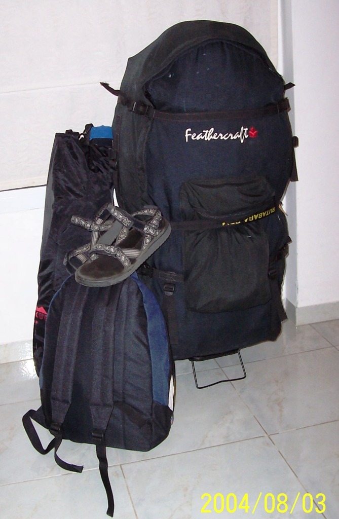
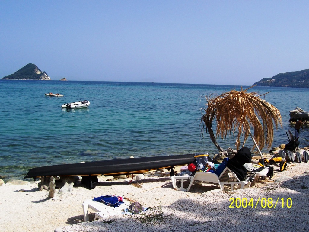
152equip
Big black bag contains the
Feathercraft Kahuna Kayak and most of the paddling & camping equipment
(30Kgs). Two small carry-on bags (13Kg) contained the rest of the equipment. I easily fitted all this stuff
inside the kayak, including 2 days worth food and water. It |
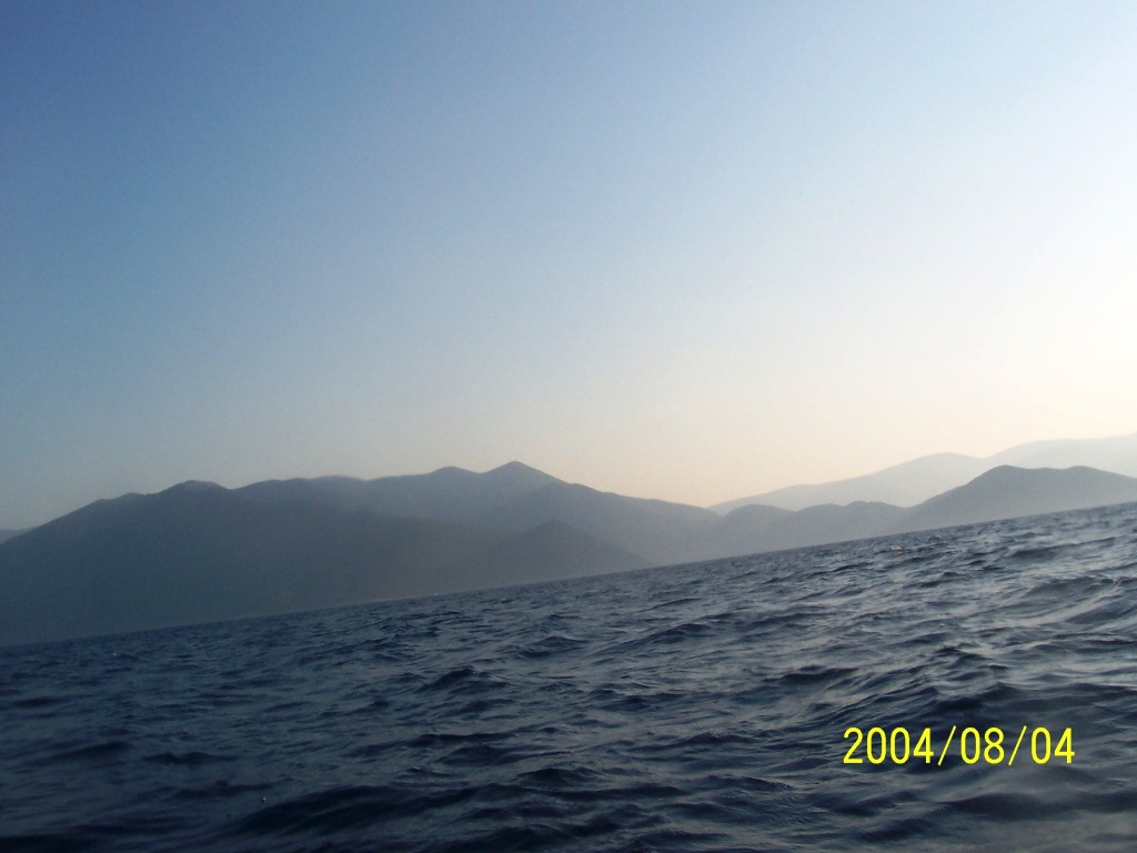
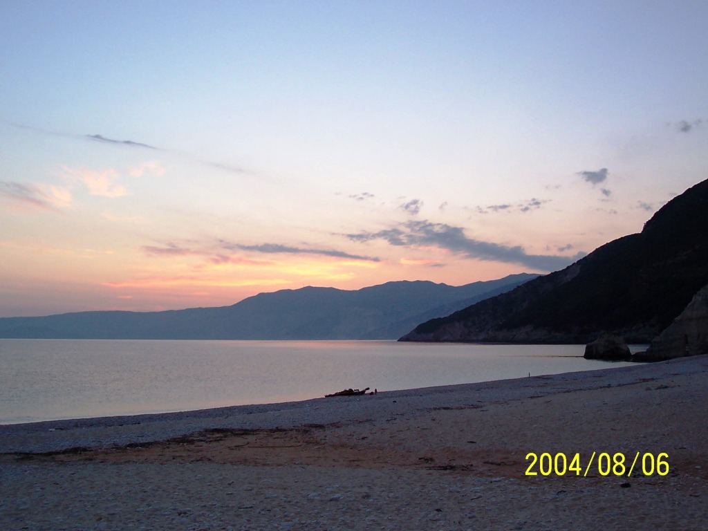
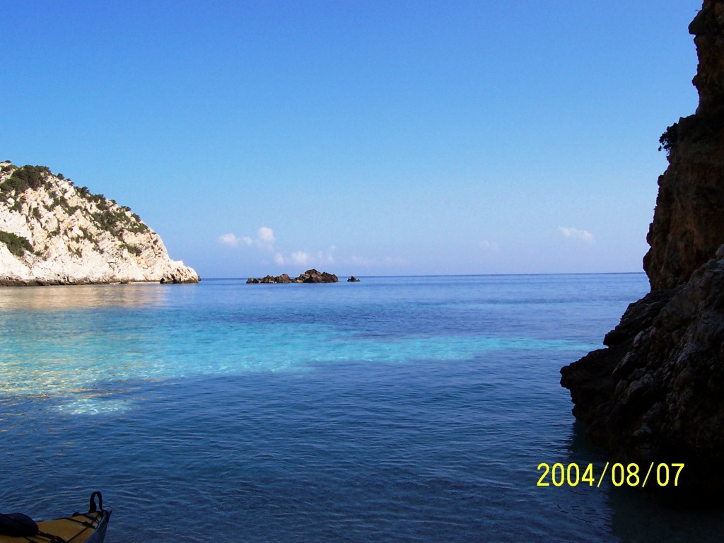
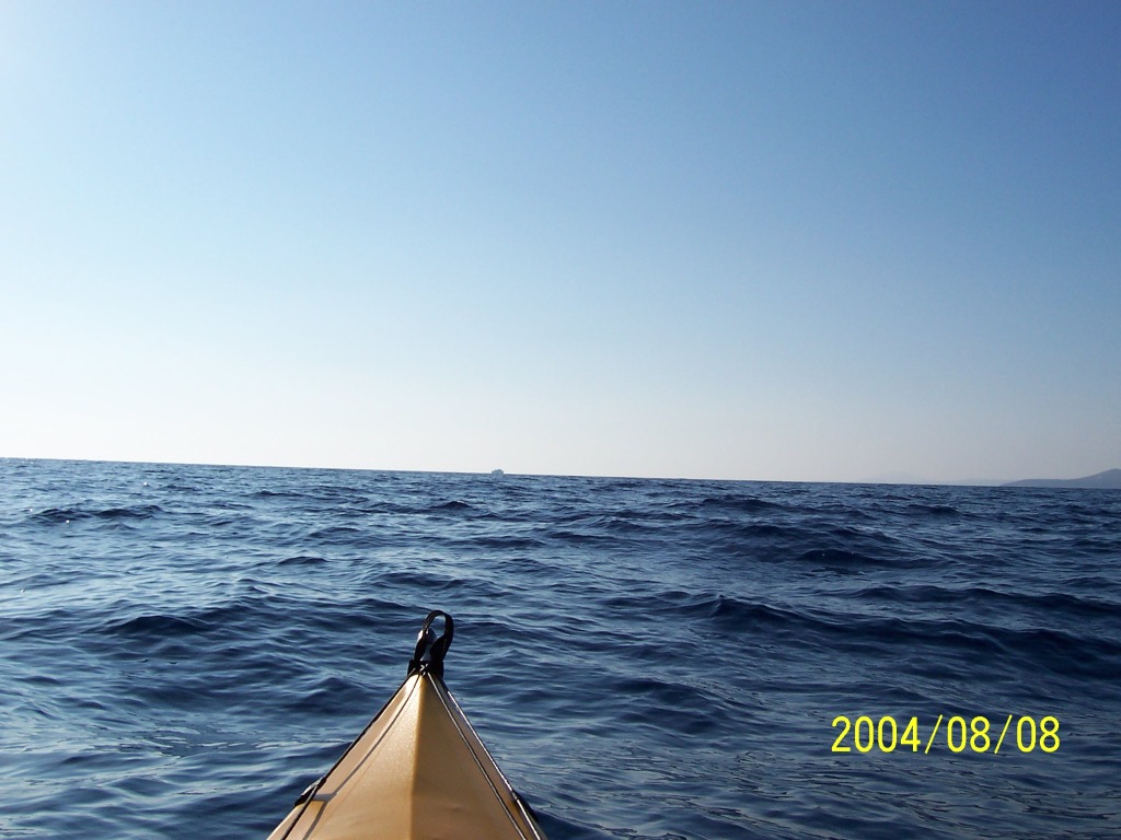
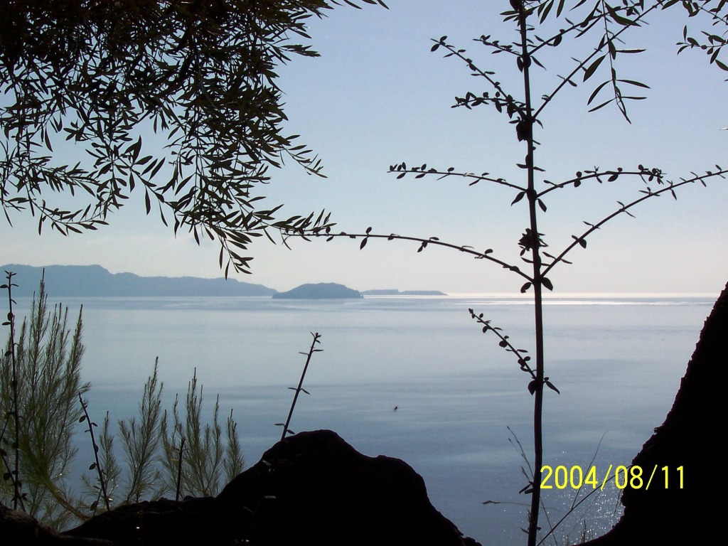
158sami2ithaki
Trip start – crossing from
Sami(Kefallonia) towards |
|
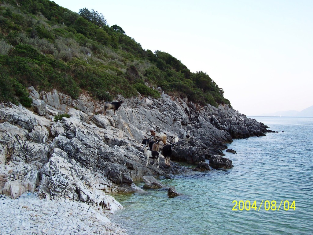
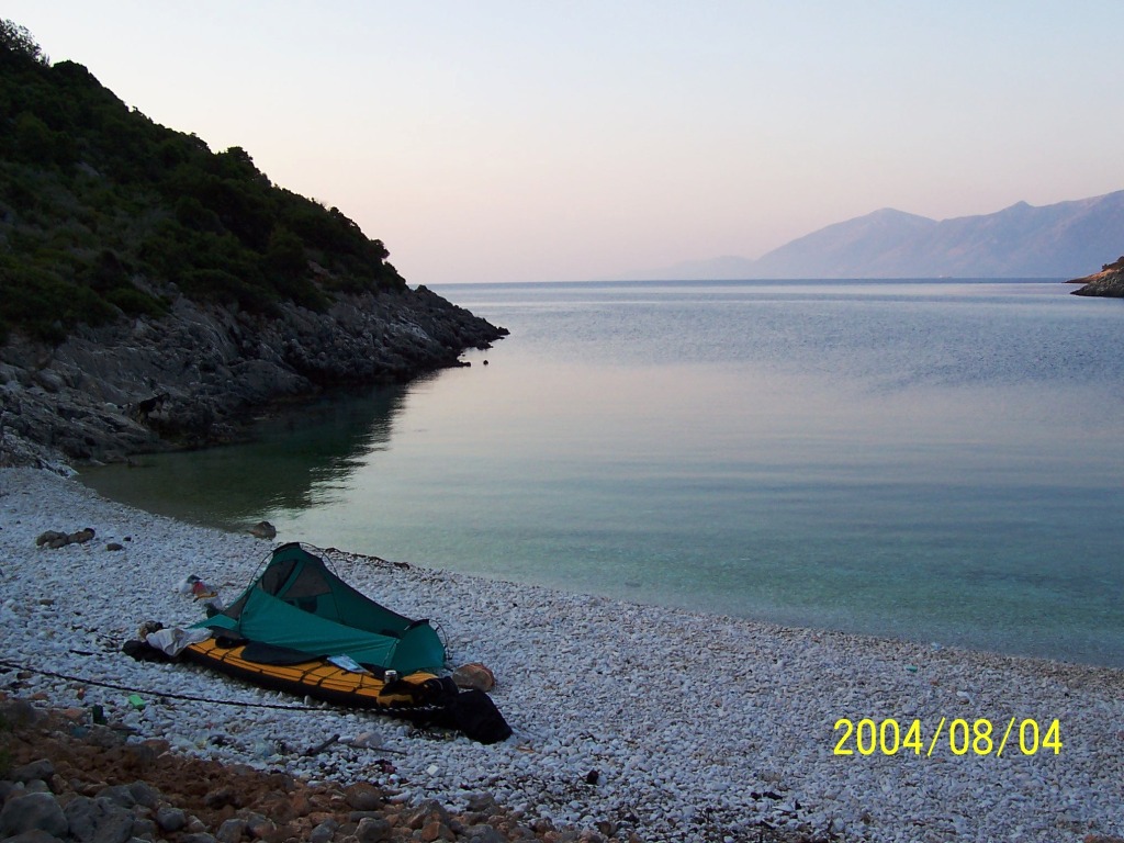
161OrmosAndri Andri bay at S. Ithaki. Wild (I
think) goats greeted me. |
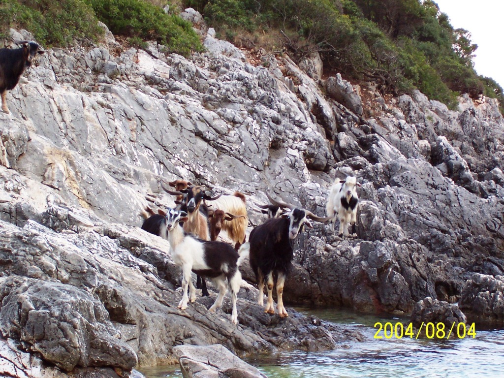
162OrmosAndri The goats really seemed
impressed by my Kayak. After watching one chewing a washed up plastic bottle
I became a bit worried that they would try tasting my kayak in the night. As
a precaution I put the kayak real close to my tent and set up a trip wire
tied to a pot. I also told them that goat skin was as good as any for fixing
a skin-on-frame kayak. This seemed to work since the night passed peacefully
for both me and the kayak. |
165OrmosAndri The goats and I settling down
for the night. |
|
170OrmosSiinos |
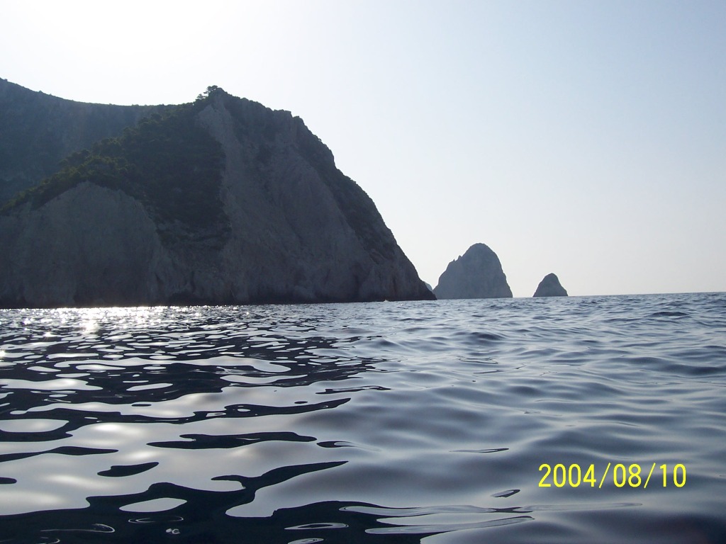
174AkrIlias Protected from the wind by
the Ilias headland. |
176AkrPsdadi Psdadi headland with the towers
approaching Kioni bay/town. |
|
178Kioni Kioni town ( |
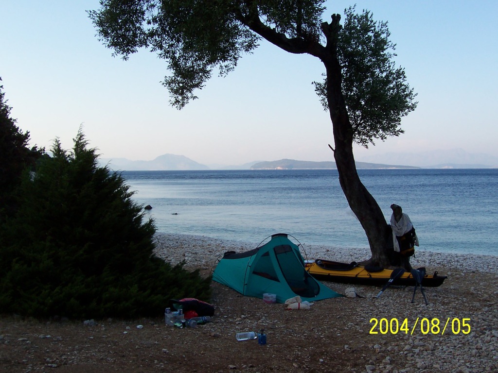
180NE-Ithaki Camping on |
182NE-Ithaki This lady was sitting in the
tree near my tent. We spent a very serene night together. She made less noise
than the goats and had much nicer legs!! |
|
184NE-Ithaki Camping on |
185NE-Ithaki |
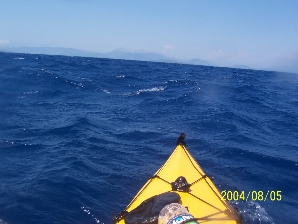
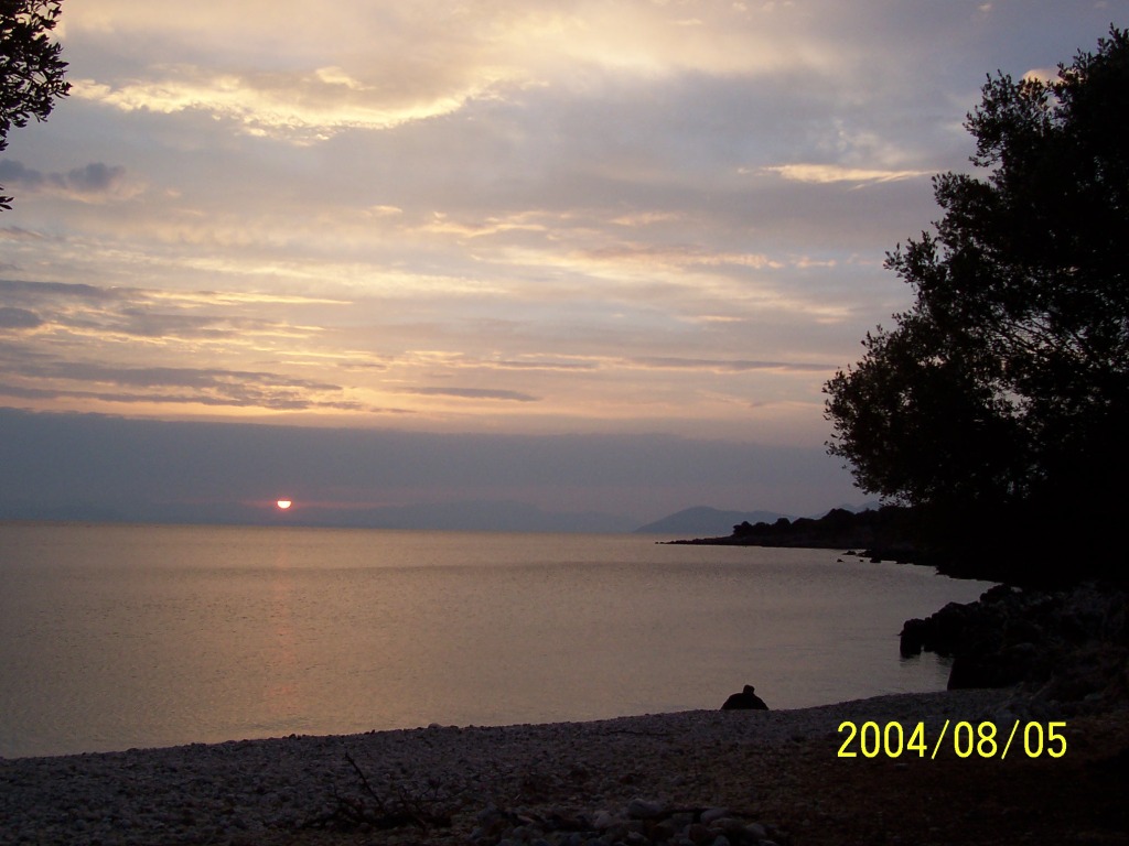
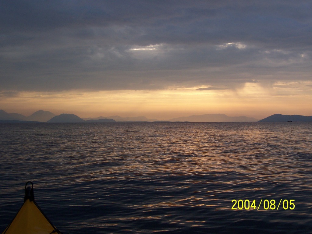
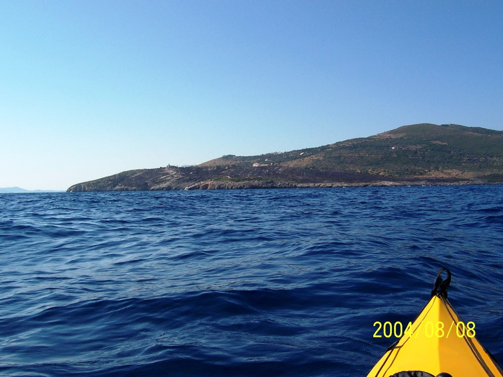
186NE-Ithaki2Kefallonia Crossing back to Kefallonia -
north. Looking back towards the sunrise. A bit later a minor storm came out
of nowhere – half a hour of rain with a back wind was very refreshing. |
|
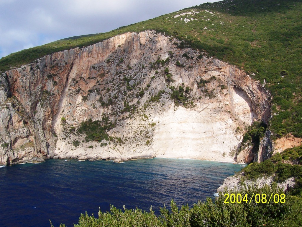
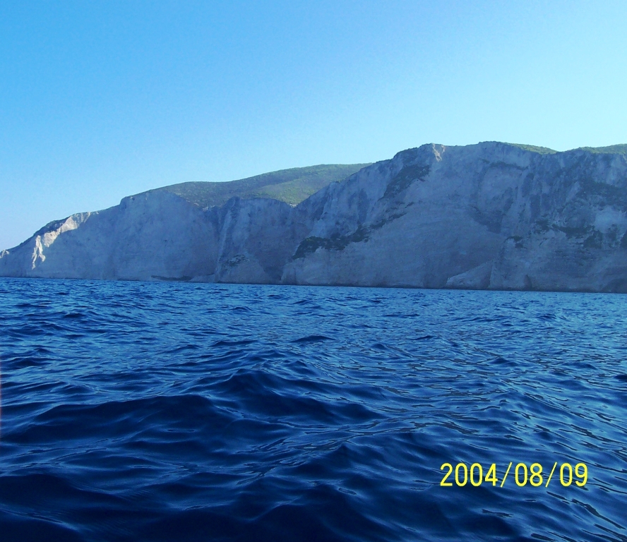
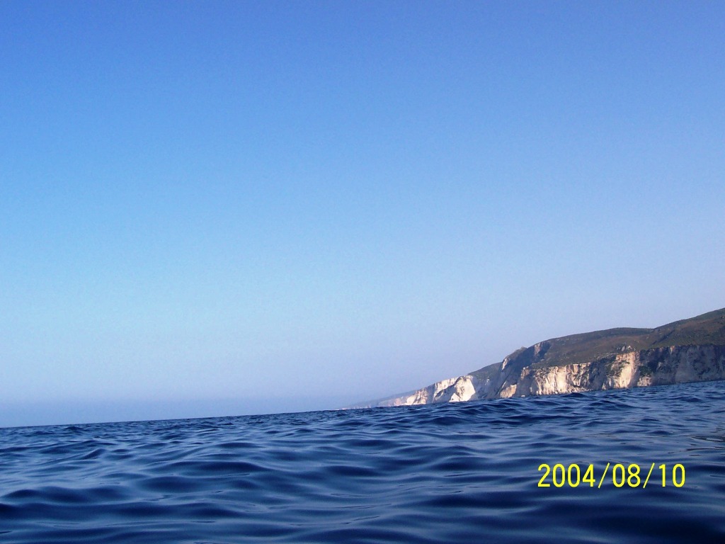
187NE-Kefallonia North tip of Kefallonia after
the crossing. Map shows cliffs for ~15 Kms. A few miles later I met a single
fisherman in a boat: He said, “hello” I replied, “hello” “From where you come?” “ “ “Yes - this is the only one I
got” “Ha-ha-ho-ho – very good” I, ”Where is the next place
that I can land?” He pointed south towards a
headland, ”After there … small beach, two miles” “Thanks - bye” “Good luck friend” After 20hrs of solitude a
fitting break-fast – concise, informative and humorous. |
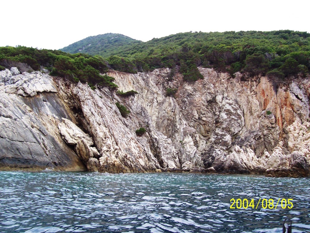
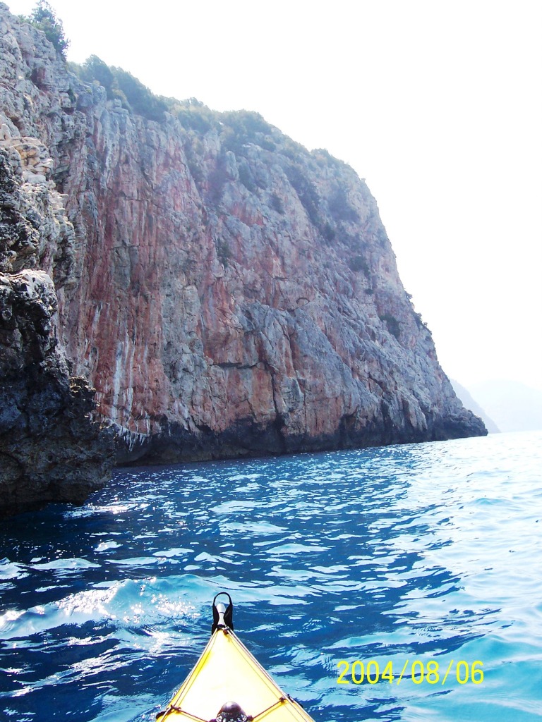
188BayNearTzamarellata Bay near Tzamarellata in NW
Kefallonia – the first bay after a few hours of continuous cliffs after
crossing from |
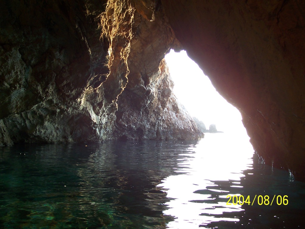
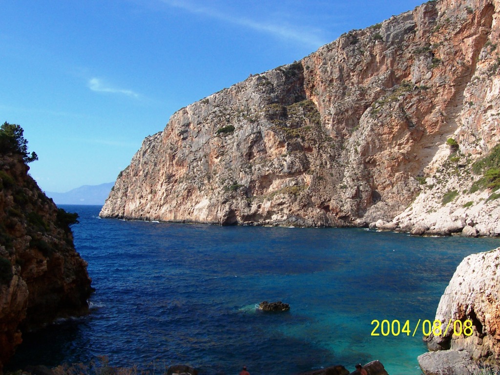
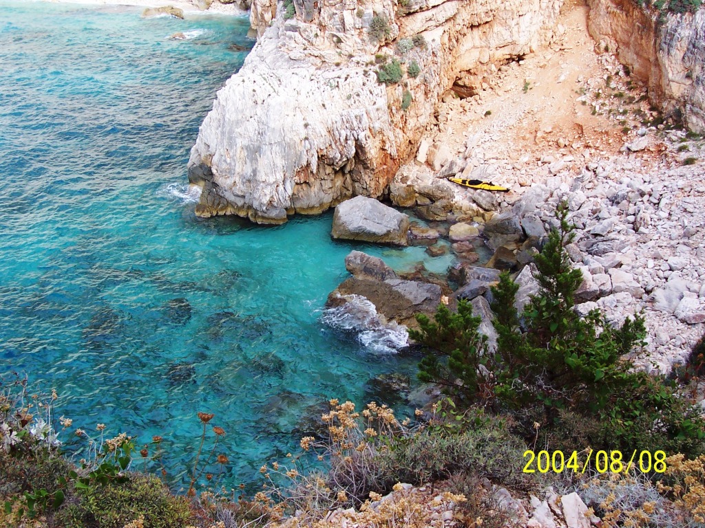
190OrmosAsou A sea caves in Assou bay – one
of many that line the coasts of these islands. |
|
193OrmosAsou Assou bay |
195OrmosAsou Assou bay |
196Asos Assos village in the distance on
the saddle between the two ridges |
|
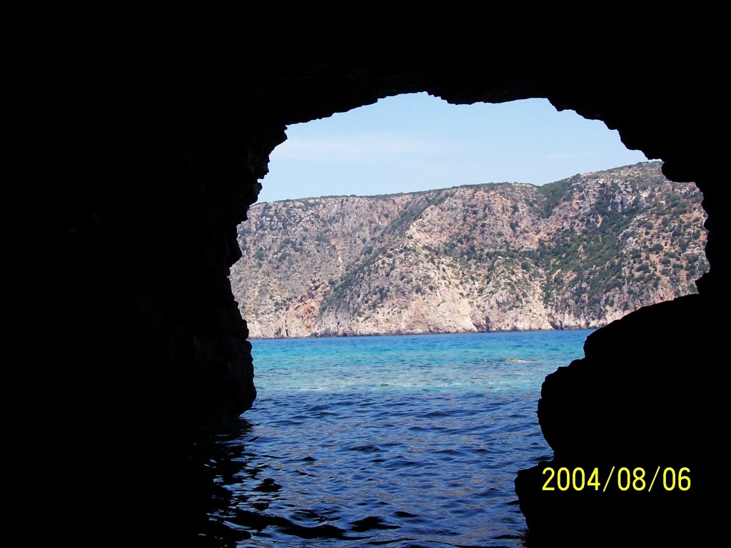
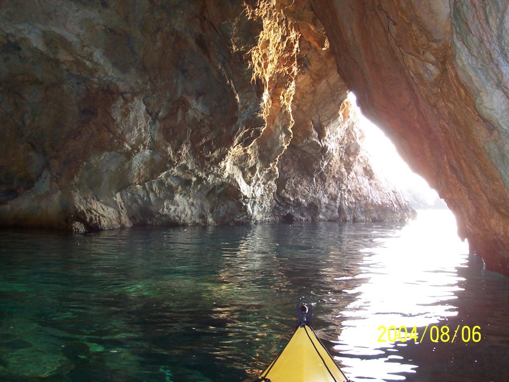
198CaveNearAsos Stopped for lunch in an Assos
taverna. Later relaxed a while in the kayak in this sea cave near the
village. |
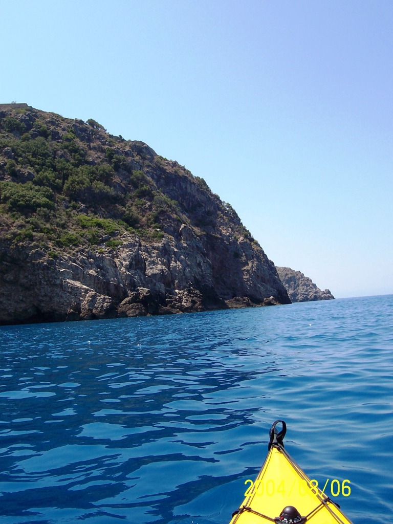
199FrourioAsou Rounding the headland beyond
Assos. |
200OrmosMyrtos Going south from Myrtos beach. |
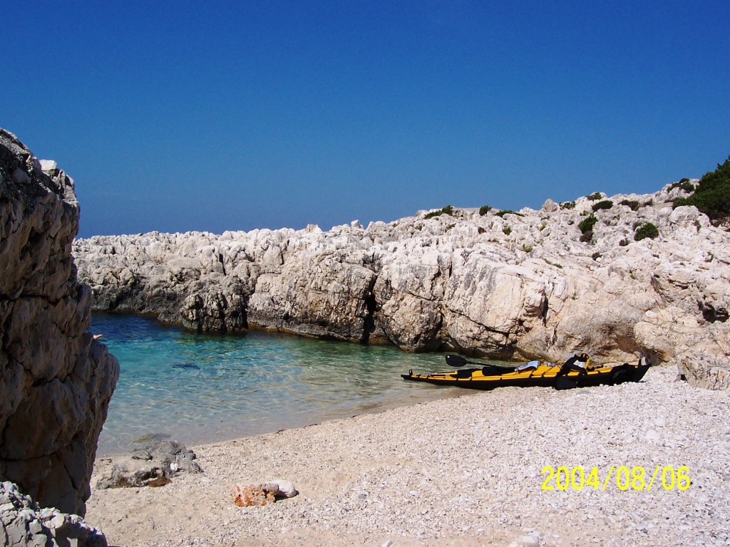
|
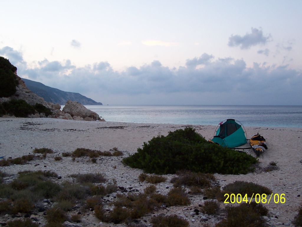
201NW-OrmosMyrtos A perfect beach for my 3rd
night’s camp |
203NW-OrmosMyrtos Room
with a view. (you may need to save this clip
to your desktop first and then try opening) |
208NW-OrmosMyrtos Kayak packed and ready to go
very early after I had been woken by a thief. Just before first light I heard
a scuffle by my tent and woke up to see the shadow of a fox running off along
the beach with something in his mouth. I gave chase shouting until I saw the
shadow dividing up into one that continued running and a black blob that
stayed stationary. This turned out to be one of my sandals. I returned to my
tent and was relieved to find that nothing else was missing. I could manage
fine without a sandal but a lost spray-skirt would be a big problem. I
smelled the sandal and understood the fox's choice. |
|
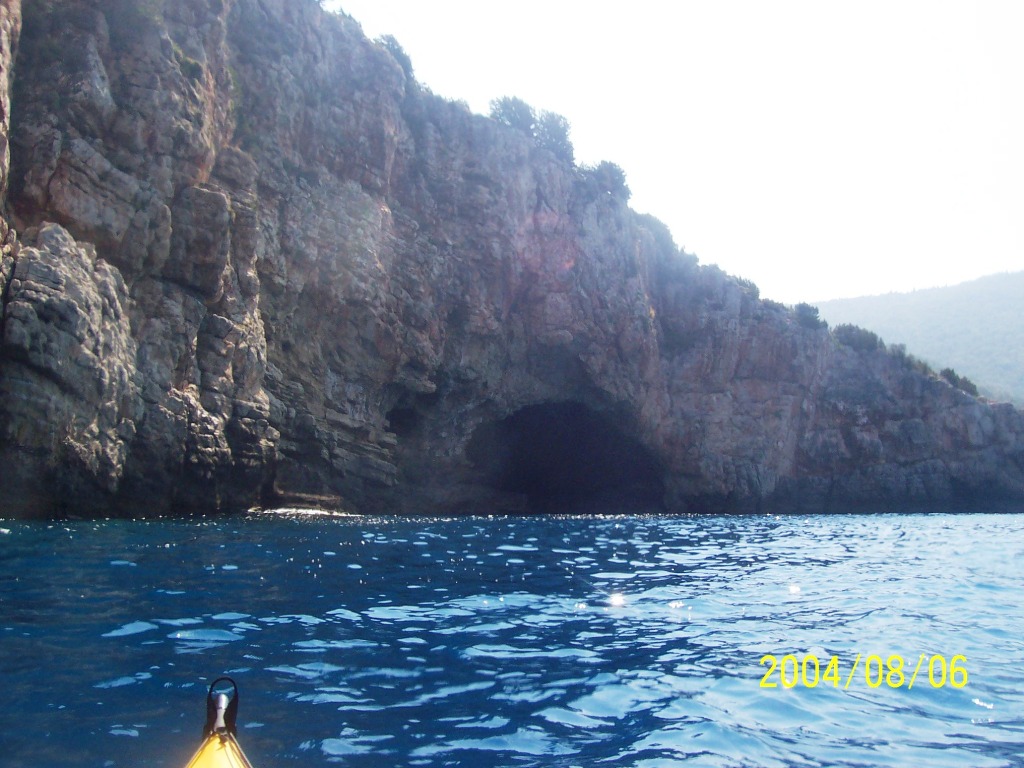
210AkrAtheras Sea cave on the Atheras
headland. |
211AkrAtheras
|
212Petani Brunch on the beautiful Petani
bay. |
|
213Petani Petani bay |
214Petani Petani bay. Two sea kayakers
from |
|
|
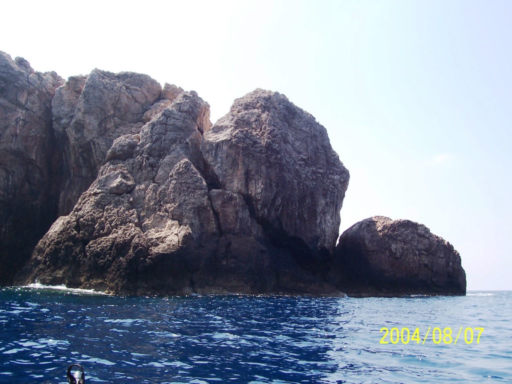
215AkrOrtholithia
|
216Kipouria Kipouria monastery in the
distance. |
217Kipouria Kipouria monastery |
|
218Kipouria Kipouria monastery
|
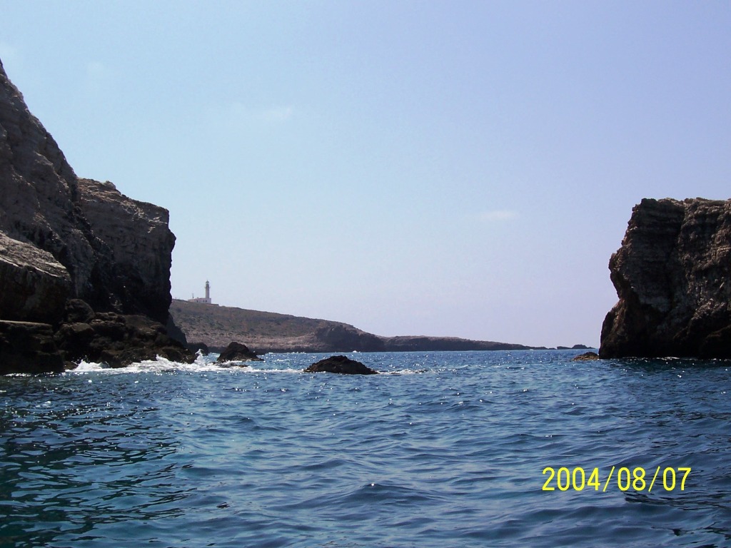
220W-edge-Kefallonia A mile south of Kipouria
monastery – the most western point of Kefallonia. |
221W-edge-Kefallonia Lighthouse 2 miles south of
Kipouria. |
|
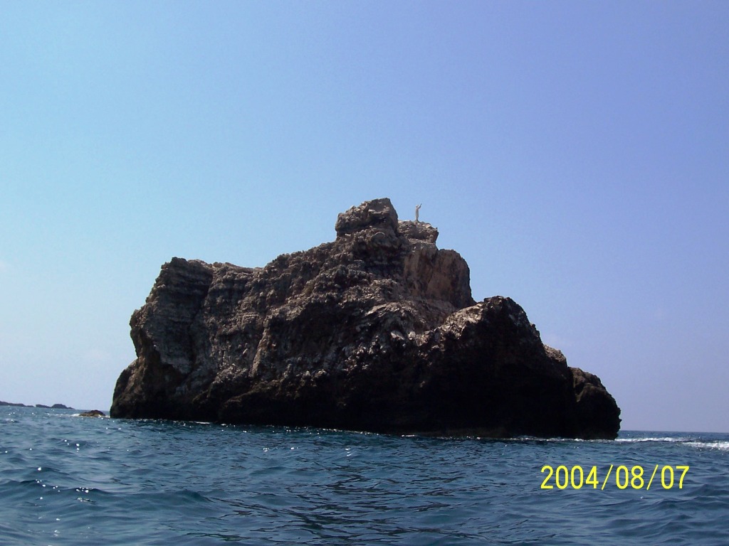
222W-edge-Kefallonia Guardian on a rock facing the
sea. |
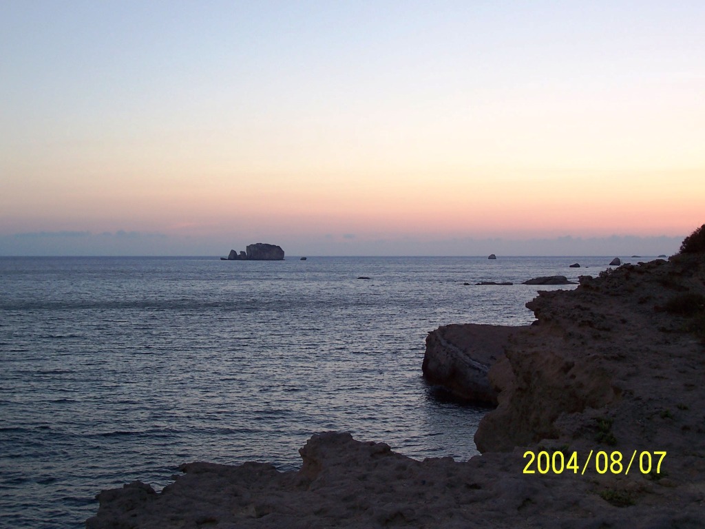
227AkrLiakasThionisi Liakas point toward Thionisi
Islet. |
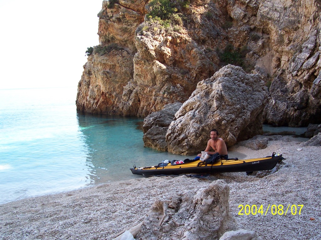
228AkrLiakas Liakas point – my camp on a
fossil bed. |
|
229AkrLiakas Liakas point. |
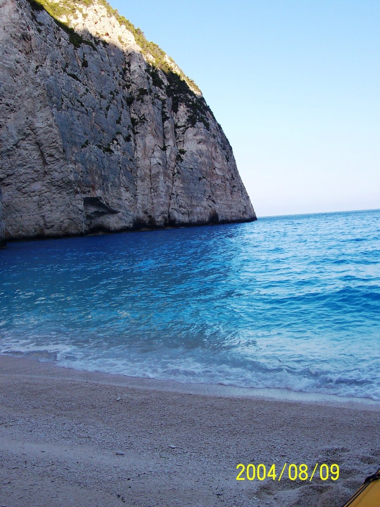
231AkrLiakas Liakas point – first light.
Before packing the kayak for the crossing to Zante in the morning. |
232AkrLiakas Looking towards Zante in the
morning. The crossing from here is ~22Km towards the northern point of Zante
(Akr. Skinari) which appears as the leftmost part of the distant landmass.
There is actually another crossing point which is closer to Zante (Kato
Katelios) from which the crossing is about 17 Km but since I wanted to cross
in the morning there was no point in spending the extra 2-3 hours to reach
the closer point. Also my route kept me out of the ferry route between Pesada
(Kefallonia) to Korithi (Zante). |
|
233Kefallonia2Zante Half way into the crossing.
Zante (Akr. Skinari) the cape on the right still looks far off and the kayak,
for the sake of the picture only, is pointing towards the Kefallonia-Zante
ferry. |
234NZante 3 hours later I have almost
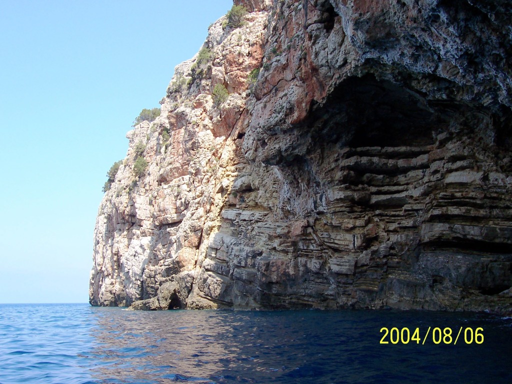
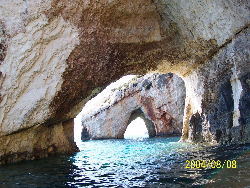
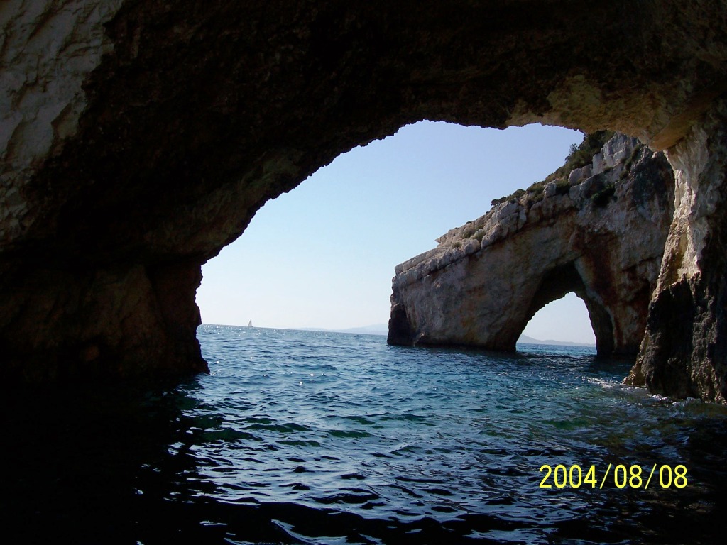
arrived at the end of my first big crossing. |
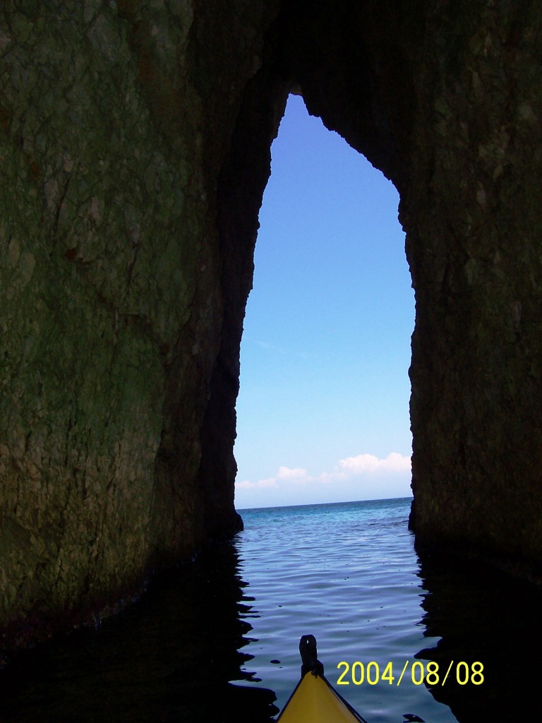
235ZanteBlueCave Blue caves on the way to
lunch in St. Nikolas in |
|
236ZanteBlueCave Blue caves on in |
237ZanteBlueCaves Blue caves in |
238NW-ZanteTanarfes After encountering rough
afternoon seas in North West Zante – I found this lovely bay where I camped
for the night. |
|
239NW-ZanteTanarfes There was no beach so I had
to stand in the water and unpack the kayak and then to maneuver the empty
vessel over the rocks to a safe place. |
241NW-ZanteTanarfes Looking north towards
Kefallonia from a viewpoint above the camp. clip of the bay |
242NW-ZanteTanarfes |
|
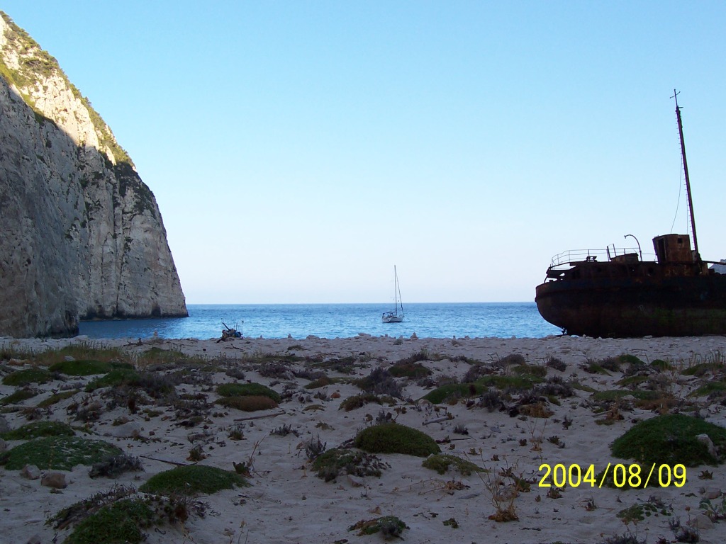
244Ormosnavagiou Shipwreck bay. |
245Ormosnavagiou Shipwreck bay. Some guys from
the yacht in the background photographed me. Later in the day boatloads of
tourist arrive so I didn’t stay too long. |
246Ormosnavagiou Shipwreck bay.
|
|
248AkrPlemonari Plemonari point ( |
249AgIonnis Ioannis cape ( |
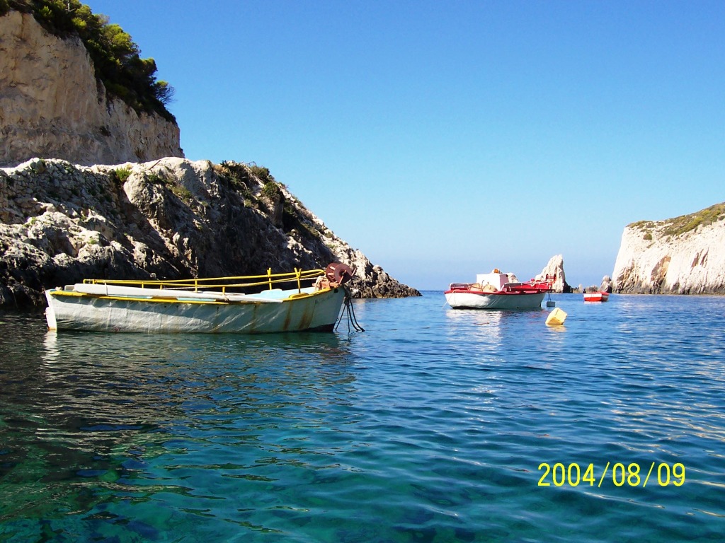
250OrmosStenitis Stenitis harbor. A few fishing
boats with no one in sight. |
|
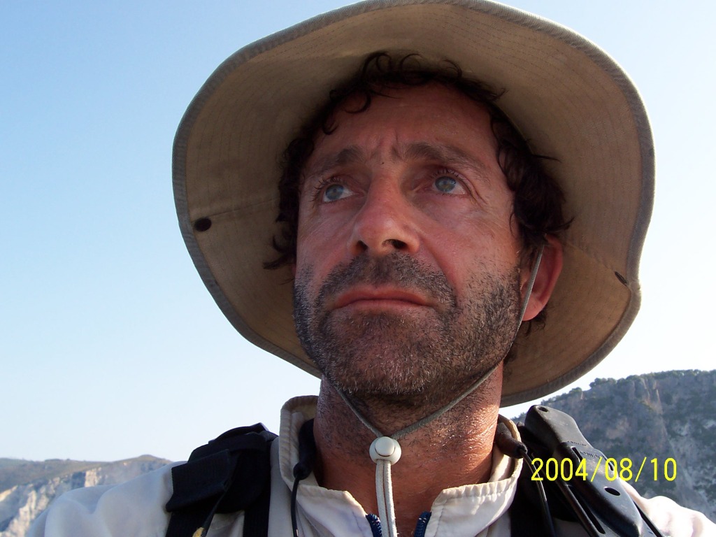
253AkrKeri Keri in South-West Zante. |
255AkrKeri Turned the camera on myself
at Keri in South-West Zante. |
256AkrMarathia Marathia cape – Southern tip
of Zante. |
|
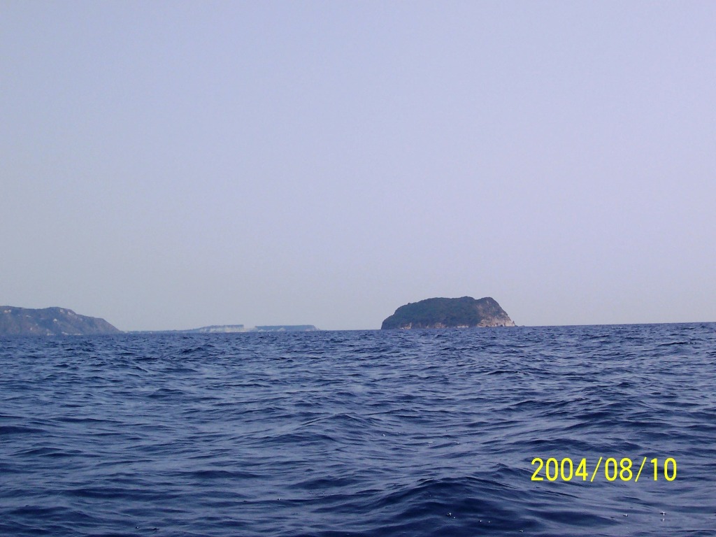
258NisiPelouzo Lagana bay – Zante. Pelouzo
island |
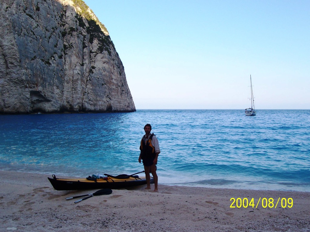
260PortoKoukla Lagana bay – Zante. Porto
Koukla camping grounds a few miles from the airport. End of the appox.
240Km trip. Equipment drying before packing. |
262LaganaPelouzo Lagana bay – Zante. |
|
263LaganaMarathonisi Lagana bay – Zante.
Marathonisi island on the right and Pelouzo island on the left. |
265LaganaMarathonisi Lagana bay – Zante. Marathonisi
island. |
266Lagana Lagana bay – Zante. |